Colney Heath
|
The parish of Colney Heath is situated southwest of the town of St Albans
in the county of Hertfordshire. It includes the village of Colney Heath, located to the south of the North Orbital Road
(A414), and the areas of Highfield, Hill End, Sleapshyde,
Smallford and Tyttenhanger located to the North of the A414.
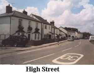
The High Street, is the main road of the village of Colney Heath.
see map,
It runs along the side of the heath. It is the heath, and the river Colne that
runs through it, that gives Colney Heath its name. Colney Heath has around
6,000 inhabitants.
|
|
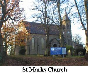
At the west end of the High Street we have a church,
St Mark's Church, which has three services on Sundays
and many other activities during the week.
|
|
|
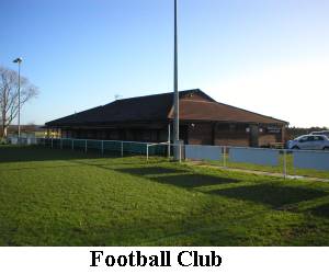
Behind the school is the recreation ground which is primarily used for football.
There is a clubhouse with a members only bar which is open every evening.
|
|
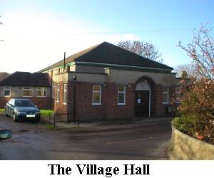 |
Further east along the High Street is the Village Hall.
The plaque over the main door says it was built in 1938 by voluntary labour.
Many clubs and organisations use this hall and it is here that
the majority of our Twinning social events take place. |
Further along the High Street is a newsagent, a hairdresser and an Indian
restaurant selling take-away meals. There is a post office in a corner of
the newsagent.
We had four pubs in our small village: The Queen's Head, The Cock, The
Crooked Billet and The Chalk Drawers Arms. Unfortunately the Queen's Head and the Cock are
now closed and have been converted to residential accommodation.
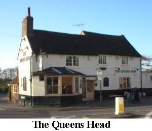
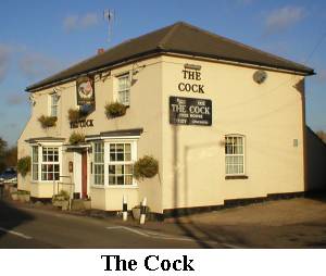
However, the Crooked Billet and the Chalk Drawers remain open.
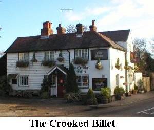
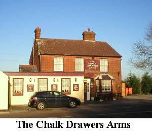
|
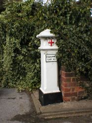
There are three Coal Posts in Colney Heath - two on the Common and one in Coursers Lane.
They are among some 36 Coal Posts in south Hertfordshire which mark London's ancient customs boundary.
They originated in the 17th century when the city was empowered to levy a duty on coal and wine to help
pay for the cost of rebuilding London after the Great Fire in 1666. Duties on coal and wine were levied until 1897.
|
|
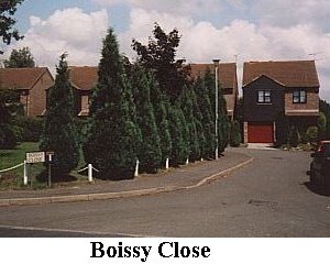
On the outskirts of the village, on the way to St Albans, are two new roads
which have been given the names of our twins, Boissy Close and St Yon Court.
|
|
Transport links are good. We are near the M25, A1 and M1 major roads and
also near Potters Bar and St Albans stations where trains go to the north
and also south to London. However, it is difficult to find a bus in the village.
Colney Heath has its own
Parish Council. The District Council for Colney Heath is
St Albans.
Return To Top
|

